Routeburn Track Day Hikes
It can be a logistical challenge to hike the Routeburn Track – here at New Zealand Walking Tours we live just a 45 minute drive from the trail-head (near the small town of Glenorchy, on the shores of Lake Wakatipu), yet we rarely hike the Routeburn in its entirety. The reason being, the Routeburn Track is a A to B hiking trail, taking you through the giant granite mountains of Fiordland National Park, and leaving you many hours of driving to get back to your car at the trail head. But there is great news, a guided hiking tour will take care of these logistics, and both ends of the Routeburn Track have stunning return hikes, also removing these troublesome logistics!
Read on to discover your hiking options on the Routeburn Track Great Walk.
The Routeburn Track at a glance:
- Starts near Glenorchy, Otago. Trailhead is 1 hour’s drive from Queenstown.
- Ends at The Divide carpark on the Milford Road, where Key Summit day hike begins.
- 32 kilometres long (19.9 miles).
- Typically takes two nights, three days to complete.
What we’ll do:
- Key Summit day hike – starts and ends at the Divide carpark on the Milford Road – around 3 hours round trip.
- Hike from the trail head near Glenorchy, towards huts at Routeburn Flats and Routeburn Falls.
Map of Routeburn Track day hikes:
Which trips include the Routeburn Track day walks?
Beautiful South – 10 days, Queenstown to Queenstown.
Pristine New Zealand – 13 days, Auckland to Queenstown.
Where is the Routeburn Track?
The Routeburn Track is close behind the Milford Track and the Tongariro Crossing as one of New Zealand’s most famous Great Walks. It is 32km (19.9miles) in length and begins at the Routeburn Shelter just outside the small town of Glenorchy in Otago, and ends at The Divide, on State Highway 94 – the Milford Road – in Fiordland National Park.
What’s so special about the Routeburn Track?
We’ve chosen to include sections of the Routeburn Track on our trips because it is an opportunity to experience a wide spectrum of different landscapes in the time it takes to do a few hours of walking. For example – the Key Summit day walk begins when you step out of the car park and in to the thick beech forest that blankets much of Fiordland National Park. As we continue to walk uphill towards Key Summit, we’ll pass a cascading waterfall and emerge from the forest into, initially, flax (a large native tall grass plant) scrub, and manuka bush. In turn, this less dense, low growing bush gives way to tussock grass, and eventually to alpine mosses and areas of wetland. So the journey to Key Summit offers a variety of different surroundings through which to walk, to achieve the stunning views from the top.
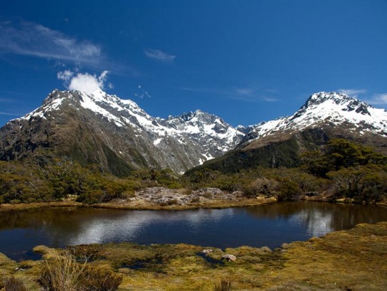
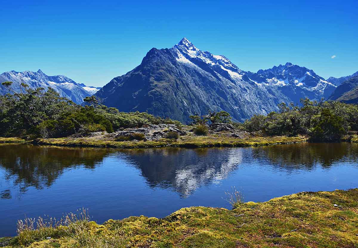
Key Summit looks out across the Ailsa, Humboldt, and Darran Mountains, and down to the Hollyford River Valley. It is a truly stunning day walk, and to be able to access such stunning panoramic views, and a sense of the scale of Fiordland National Park, on a relatively short day walk, makes this one too good not to include on our trips.
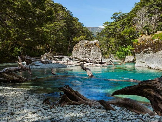
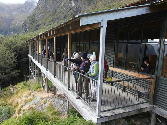
At the other end of the Routeburn Track – which is traditionally the start, whilst Key Summit is the end – we’ll walk the section alongside the Routeburn River. The track leads us through silver, red, and mountain beech forest, all the time following the beautiful, bright blue waters of the river, to Routeburn Flats Hut where we’ll eat a picnic lunch. It is amazing to see such beautiful, and well appointed ‘huts’ along the Routeburn Track, in a place that is so inaccessible and remote. It really needs to be seen to be believed, so don’t forget your camera!
For more information about the Routeburn Track, and to see how we explore it on our New Zealand Walking Tours simply request a free travel brochure below – or scroll down to see our trips.
